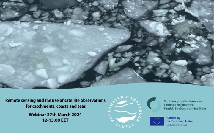
FWCC Webinar – Remote sensing and the use of satellite observations for catchments, coasts and seas
Remote sensing and the use of satellite observations provide spatially important information on the situation of catchments, coasts and seas.
Join the next FWCC webinar on 27 March at 12:00 on the topic of satellite observations and remote sensing in the catchment area of the Vantaanjoki River.
Speakers will be Mikko Kervinen and Kirsikka Heinilä from the Finnish Environment Institute.
Programme
12.00 – Welcome words
12:10 -Mikko Kervinen, Senior Coordinator (SYKE) Satellite observations for water quality in Vantaanjoki catchment and in Baltic Sea.
12.35 -Kirsikka Heinilä, Senior research scientist (SYKE) Snow and ice data from the Vantaanjoki catchment area, Europe and on a global scale
