Tua Nylén does research on coastal changes in the Artic – after seeing these field work photos you will also want to become a geomorphologist!
Tua Nylén seems to feel at home well above the Arctic Circle. She has just returned from a field trip in the coast of Northern Norway, at the mouth of the Tana River. One of the Freshwater Competence Centre supersites, the Tana River is located on the border of Finland and Norway. Tua Nylén with her own Research Council of Finland project “ARIMPA” is an associated partner to Freshwater Competence Centre, and the research in both projects support each other at the field work sites. “Out in the field, we collaborate for example regarding logistics, equipment and staff.” Tua explains.
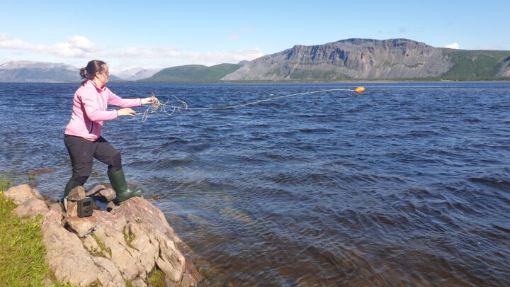
Image: Tua Nylen casting away! Photo by Mikel Calle Navarro
Text: Annukka Pekkarinen
When Tua started her project, she was not planning to spend so much time in Norway. “When I started my Academy fellowship, I had plans to visit international colleagues more and do coastal field work across the Arctic, but my research plan was adjusted due to the pandemic and other unforeseen factors.” This is a good reminder to anyone doing research that requires field work in remote locations – adaptability is the key to success. “Extending my project towards studying the short-term and long-term changes in the dynamic Tana River delta was a natural decision, consider my background and research environment.” Tua says.
Added value from international collaboration
This time she was in the North with Mikel Calle Navarro, who is a fluvial geomorphologist from Universidad Complutence de Madrid, and a former colleague of Tua’s at the University of Turku. Mikel is particularly interested in bank erosion and the movement of sand bars in the Tana River. “The combination of his expertise on fluvial geomorphology and close-range remote sensing, and my background with coastal geography and satellite remote sensing was a fruitful starting point for our study in the Tana River delta. Our idea was born after sharing our own field work experiences, and then crystallized during the first joint field trip last year.” Tua explains.
Now at the Tana River delta, Tua and Mikel are looking at the tidal impacts on the river. This is a topic that has not been widely researched: how does the ocean, the tides and the river itself interact at the delta, especially in a sub-arctic river that has a full annual cycle of seasons, with a large spring flood event and ice cover in the wintertime.
The impact of the tides is not a minor one. “Tides change the flow conditions in the area twice every day. The tidal impacts on water level can be measured up to 10km inland from the mouth of the river!” Tua explains. In low-discharge conditions in particular, the sea water pushes into the delta, and the river can in fact even flow upstream! During snow melt in the spring, however, the flooding river is so powerful that saline water cannot enter the delta. The changes in tides, currents, salinity and water depth are something that the fishermen must consider and be very aware of while navigating through the sand banks in the delta. The Atlantic fish tend to arrive with the rising tide to feed in the delta. Currently, the salmon fishing has been banned in the area, trying to revive the declining stock and manage the arrival of the invasive species pink salmon.

Building a circumpolar dataset of coastal erosion
Coming back to the original plan, Tua Nylén also succeeded in the main goal of her research project: mapping the pan-Arctic coastal changes. She is a few weeks away from publishing a circumpolar dataset of coastal erosion, that has been built using satellite remote sensing and change detection. The dataset describes how the coastline is evolving: where does it erode and where does the material deposit. The remote sensing data are validated in specific sites by comparing to previous studies and aerial photos, or simply by visiting the unclear areas to see what is going on in the coastline. The dataset therefore contains also geotagged photos from certain areas, including the coasts around the mouth of the Tana River.

We are all looking forward to the publishing of the pan-Arctic coastal change dataset and wish good luck to Tua to complete the work! Next steps for Tua are to join the work of DIWA flagship and the PhD pilot.
If you found this story inspiring, you can now apply to one of our numerous PhD pilot positions, we are currently accepting applications until 15th September 2024!